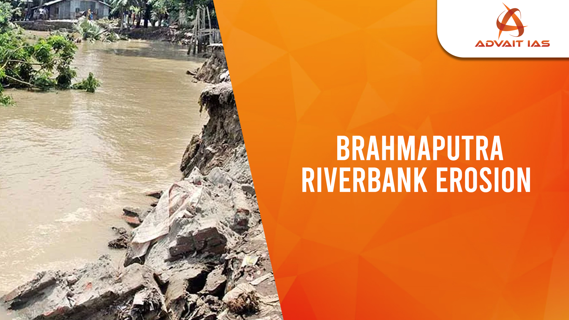
Riverbank erosion in the Brahmaputra Valley has been a persistent issue, causing widespread devastation across Assam. This natural process results in the loss of lives, agricultural land, and infrastructure, exacerbating the socio-economic hardships of affected communities. The problem intensifies with monsoons, earthquakes, and geological instability in the Himalayan region.
Causes of Riverbank Erosion
- Geological Factors
- The Himalayan mountain range is geologically young and unstable, leading to landslides that contribute silt, rocks, and debris to the Brahmaputra.
- The riverbed rises due to continuous silt deposition, worsening floods and erosion.
- Hydraulic Pressure & Underground Flow
- Erosion is driven by differences in water pressure between the river’s surface flow and underground water movement.
- As the river water recedes, weaker sand layers collapse, causing severe erosion.
- This is more intense during the rainy season, when the underground water level remains high even after the river level drops.
- Human Interventions
- British-era flood control policies restricted settlements in flood-prone areas, but later, embankments were seen as an easy solution.
- However, embankments raised the riverbed, leading to flash floods and worsened erosion when they breached.
Past Efforts & Their Limitations
- In 1919, a major riverbank protection project was proposed for Dibrugarh, but it was executed only after Independence.
- Post-1947 measures, such as porcupines and geo-bags, have provided only temporary relief.
- Current methods have failed to permanently control erosion, as the problem recurs yearly.
Proposed Long-Term Solutions
- Scientific Erosion Control Measures
- Hydraulic pressure monitoring through test boring can help predict erosion-prone areas.
- Installing shallow tube wells to drain underground water can reduce pressure differentials, preventing erosion.
- Solid Riverbank Protection Infrastructure
- Jetties, spurs, and embankments should be built using modern engineering techniques.
- Large-scale dredging of the Brahmaputra can help confine the river to an optimal width of 1.3 km, reducing erosion risks.
- Land Reclamation & River Regulation
- A five-year project could focus on excavating 1-1.5 meters of riverbed from Sadiya to Dhubri, reclaiming lost land.
- Estimated cost: ₹15 crore per acre, covering planning, surveys, dredging, and infrastructure.
- Economic & Developmental Opportunities
- Reclaimed land can be used for agriculture, industrial townships, and naval dockyards in Dhubri.
- Proper river management can prevent illegal encroachments, infiltration, and illicit activities.
Government Initiatives & Future Prospects
- The government (2014 onwards) emphasized Brahmaputra flood control & erosion mitigation.
- Plans for road-cum-embankments, dredging, and river regulation aim to transform Assam’s landscape into an economic hub.
- Successful projects like the Bhakra Nangal Dam demonstrate how strategic river management can drive regional development.
Addressing riverbank erosion, floods, and land reclamation is crucial for Assam’s future. With strong governance, scientific planning, and stakeholder collaboration, Assam can turn this crisis into an opportunity, paving the way for a new era of prosperity.